Armenian Data Cube
  • Log In
  • Home
  • Data Cube Manager
    • Data Cube Visualization
    • Dataset Types
    • Dataset Viewer
    • Ingestion Configuration Builder
    • Ingestion on Demand
  • Tools
    • General
      • Custom Mosaic
      • Cloud Coverage
    • Land
      • Urbanization
      • Spectral Indices
      • Slip
      • NDVI Anomaly
      • Fractional Cover
    • Water
      • Water Detection
      • Water Quality TSM
      • Coastal Change
  • Task Manager
    • General
      • Custom Mosaic
      • Cloud Coverage
    • Land
      • Urbanization
      • Spectral Indices
      • Slip
      • NDVI Anomaly
      • Fractional Cover
    • Water
      • Water Detection
      • Water Quality TSM
      • Coastal Change
  • Submit Feedback

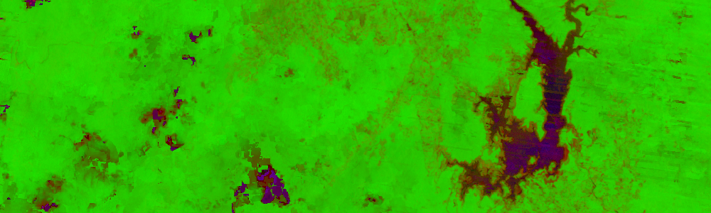
Create Filtered Mosaics for Analysis Cases

Create a filtered mosaic before analysis to increase accuracy and reduce execution time.
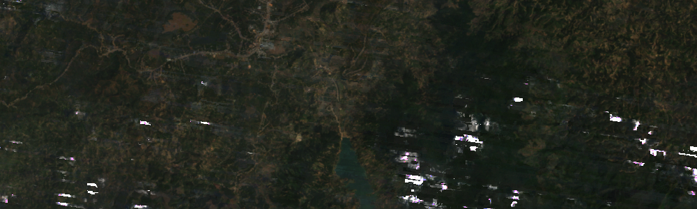
Pixel Preference

Choose how the 'best' pixel will be chosen: Most recent, least recent, median, or min/max urbanization value pixel.

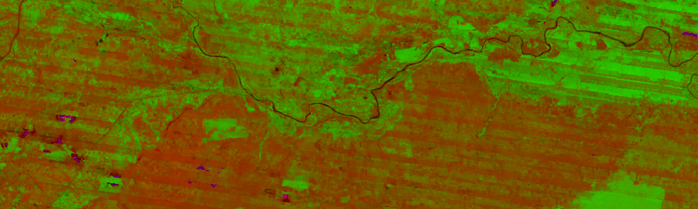
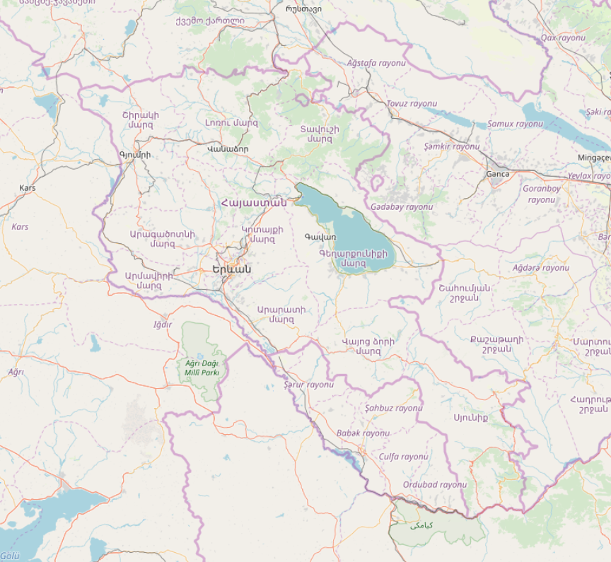
Compute Indices to Visualize Area Content

Visualize area contents with the use of well known remote sensing indices.

Previous Next
Amazon River
Amazon River
Bangladesh
Bangladesh
Colombia Micro Cube
Colombia Micro Cube
Ghana
Ghana
Kenya Micro Cube
Kenya Micro Cube
Lake Baringo
Lake Baringo
Full Lake Chad
Full Lake Chad
Lake Cortijo
Lake Cortijo
Meta River
Meta River
Salgar, Colombia
Salgar, Colombia
Togo
Togo
Tonga
Tonga
Vietnam
Vietnam
Armenia
Armenia