Armenian Data Cube
  • Log In
  • Home
  • Data Cube Manager
    • Data Cube Visualization
    • Dataset Types
    • Dataset Viewer
    • Ingestion Configuration Builder
    • Ingestion on Demand
  • Tools
    • General
      • Custom Mosaic
      • Cloud Coverage
    • Land
      • Urbanization
      • Spectral Indices
      • Slip
      • NDVI Anomaly
      • Fractional Cover
    • Water
      • Water Detection
      • Water Quality TSM
      • Coastal Change
  • Task Manager
    • General
      • Custom Mosaic
      • Cloud Coverage
    • Land
      • Urbanization
      • Spectral Indices
      • Slip
      • NDVI Anomaly
      • Fractional Cover
    • Water
      • Water Detection
      • Water Quality TSM
      • Coastal Change
  • Submit Feedback

Landslide Detection

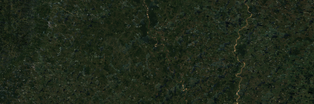
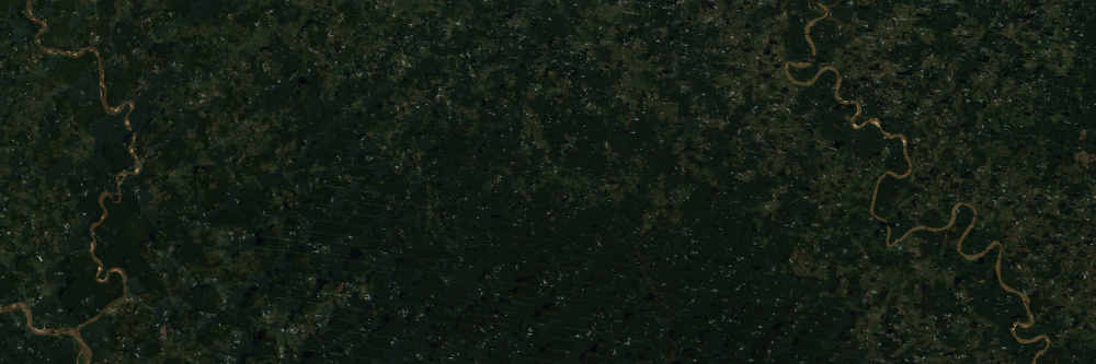
The SLIP tools uses algorithms to combine optical and elevation data to determine possible locations for recent landslides

Threshold Control

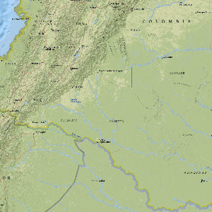
Set the baseline thresholds to expand or narrow results of possible landslide data.

Previous Next
Salgar, Colombia
Salgar, Colombia