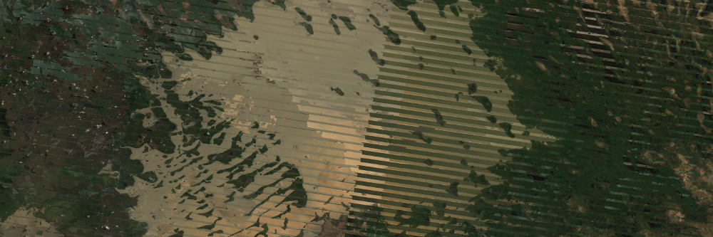
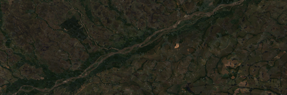
Armenian Data Cube
  • Log In
  • Home
  • Data Cube Manager
    • Data Cube Visualization
    • Dataset Types
    • Dataset Viewer
    • Ingestion Configuration Builder
    • Ingestion on Demand
  • Tools
    • General
      • Custom Mosaic
      • Cloud Coverage
    • Land
      • Urbanization
      • Spectral Indices
      • Slip
      • NDVI Anomaly
      • Fractional Cover
    • Water
      • Water Detection
      • Water Quality TSM
      • Coastal Change
  • Task Manager
    • General
      • Custom Mosaic
      • Cloud Coverage
    • Land
      • Urbanization
      • Spectral Indices
      • Slip
      • NDVI Anomaly
      • Fractional Cover
    • Water
      • Water Detection
      • Water Quality TSM
      • Coastal Change
  • Submit Feedback

True Color Mosaics

The Custom Mosaic Tool allows users to create detailed true or false color images of given areas using optical data from various Landsat satellites.
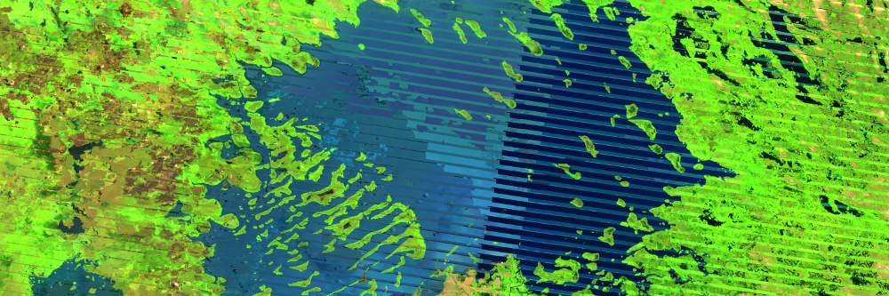
Pixel Preference

Choose how the 'best' pixel will be chosen: Most recent, least recent, median, or min/max NDVI value pixel.

Time Series

Run powerful time series analyses that composites a series of acquisitions to produce a single image.

Previous Next
Amazon River
Amazon River
Bangladesh
Bangladesh
Bangladesh (BARI)
Bangladesh (BARI)
Caqueta
Caqueta
Colombia Micro Cube
Colombia Micro Cube
Ghana
Ghana
Kenya Micro Cube
Kenya Micro Cube
Lake Baringo
Lake Baringo
Full Lake Chad
Full Lake Chad
Lake Cortijo
Lake Cortijo
Meta River
Meta River
Salgar, Colombia
Salgar, Colombia
Togo
Togo
Tonga
Tonga
Uruguay
Uruguay
Vietnam
Vietnam